Feeling the need to get out and stretch my legs a bit I agreed to join Pete on a not too ambitious hike of two 7,000+ foot peaks in Boulder County. Leaving from the Coulson Gulch trailhead we headed south to Higgins Park, then downstream towards the Button Rock Reservoir before leaving the trails and dirt roads for the summit of unnamed peak 7,071.
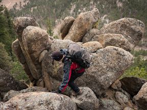
The summit area held 3 different rocky tops that provided some short scrambling.
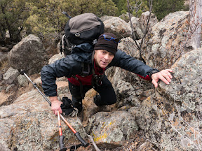
The southern-most was the highest and was marked by a smashed summit register.
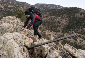
We took a different route back down the west side of the peak, and were tasked with a little bit of route finding through a few cliff bands.
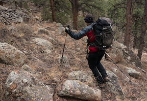
From here we took off towards what we thought was Cook Mountain without really checking the map. After a stroll on dirt roads we crossed the North St. Vrain Creek and trashed up some steep slopes and through thicker vegetation. That none of the prior trip reports mentioned the creek crossing or thick vegetation slowly cast doubt in our minds that we were headed in the right direction.
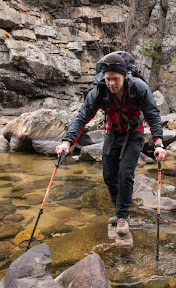
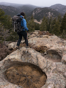
A break and map consultation broke the news that we’d definitely gone too far south, so we reversed our bushwhack and the creek crossing then started right up the slopes on the opposite side. The open forests here were a far better fit for the descriptions we had read and before long we’d reached the semi-open summit area.
Walking further north took us to another high point that contained an old summit register from the “Brown Bear Mountaineering Club”.
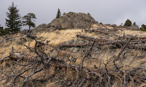
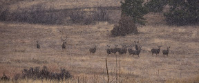
Our descent from Cook took us through some recent logging but then delivered us out into the open with a welcoming committee of mule deer.
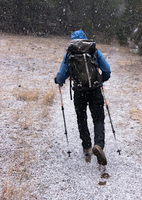
As we hiked back up the Coulson Gulch trail the snow picked up in intensity.
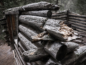
We counted down the sites towards the trailhead, including a dilapidated old cabin.
When we reached the rusted and bullet hole-riddled water tank we knew we were nearly done with out outing.

Read Full Post »